Scan Line Survey: Explanation, Properties And Advantages

Scan Line Survey

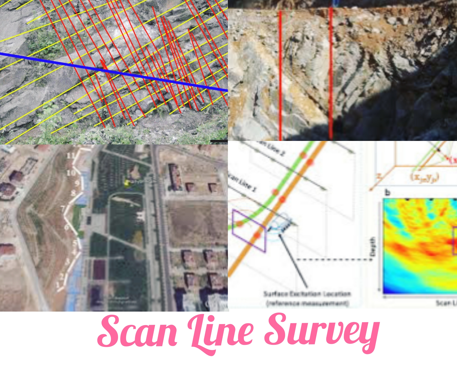
What Is Scan Line Survey? Scan line survey is used to determine the quality of rock mass and underground structures. Scan line survey also called as discontinuity survey. In this type of survey, the outcropped rock surface is scanned, and data is collected for rock mass analysis, contributing to the preliminary design of structures supported … Read more

Pegs In Surveying – Purpose, Types, And Applications

Pegs In Surveying: Introduction In the field of surveying, surveyors utilize pegs, which are either made of wood or metal stakes, to demarcate specific points on the ground. These points serve to represent various elements in a survey, including property boundaries, corners, reference points, or control points. Surveyors strategically place the pegs in the ground … Read more

Arrows In Surveying – Fucntions, Types, And Uses

What Are Arrows In Surveying? Arrows are widely used as marking pins in chain surveying, serving a critical role in measuring linear distances and indicating the end of a chain length. They are invaluable tools employed by surveyors to establish a series of points on a surface and accurately measure distances. Arrows can be constructed … Read more

Difference Between Prismatic Compass And Surveyor Compass

In this article I will discuss difference between prismatic compass and surveyor compass. When it comes to surveying, two commonly used instruments are the prismatic compass and the surveyor’s compass. Despite their similarities in usage, there are significant differences in their construction and application. A prismatic compass is a simple compass whose sighting system consists … Read more

Surveyors Compass – Explained In Detail

What Is Surveyors Compass? Surveyors compass is used to measure horizontal angles. It is consist of a graduation disc fixed to the box, with a magnetic needle that is free to rotate above it. Unlike other compasses, it does not have a prism at the viewing end, but instead has a narrow slit. To take … Read more

Errors In Plane Table Surveying – Explained

Errors in plane table surveying can be caused by the equipment or the person using it. In this article I will discuss the instrumental and personal errors in plane table surveying. 1. Instrumental Errors Let’s learn these instrumental errors in detail. (a) The surface of plane table not perfectly plane: A plane table is an … Read more

Methods Of Levelling | Barometric Levelling | Hypsometric Levelling | Direct Levelling | Indirect Methods

There are four methods of levelling used in the field of construction. Levelling methods are used to calculate the height difference at different ground levels. The following methods are used to determine the difference in elevation of various points: Let’s learn about these methods of leveling. 1. Barometric Levelling This method depends on the principle … Read more