Contouring in surveying is the determination of the elevation of different points on the ground surface and fixing these points of same-level situations in the contour map.
The below map explain the contouring process.
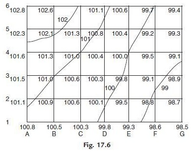
Table of Contents
Methods of Contour Survey
There are two methods of contour survey as given below.
- Direct method
- Indirect method
1. Direct method
It comprises discovering vertical and even controls of the points which lie on the chosen shape line. It is a very tedious and time-consuming process. In this method, points are physically located on the ground surface and then plotted on the map.
2. Indirect method
In this technique, levels are taken at some chosen focuses and their levels are diminished. Hence in this technique, even control is set up first, and afterward, the degrees of those focuses are found.
Types of Contour Lines
There are three types of contour lines in the contour surveys.
1. Index Lines:
These lines are the thickest lines. They are labeled with certain numbers along the length of lines. These numbers indicate elevation above sea level.
2. Intermediate Lines:
Intermediate lines are slightly thinner compare to index lines. These lines do not have any labels.
3. Supplementary Lines:
These lines seem like dotted lines. Supplementary lines indicate flatter terrain.
Uses Of Contour Map in Surveying
Contour map used to draw imaginary lines that connect points of equal elevation on the ground surface. It helps to visualize the nature of the ground along a cross-section of interest.
Contour maps are used to locate the routes of different structures such as canals, tunnels, etc.